By Adam Pagnucco.
In coming days, I’ll be crunching precinct-level results from the 2020 general election. This post summarizes the methodological choices I made and I’ll refer back to it in the future.
General election precinct results for candidate races and ballot questions are available here for every county in Maryland. In prior years, precinct results were available only for election day voting. For this year’s general election (but not the primary), they are available for all voting modes. That’s an improvement but it means that precinct results for this year aren’t strictly comparable to earlier years.
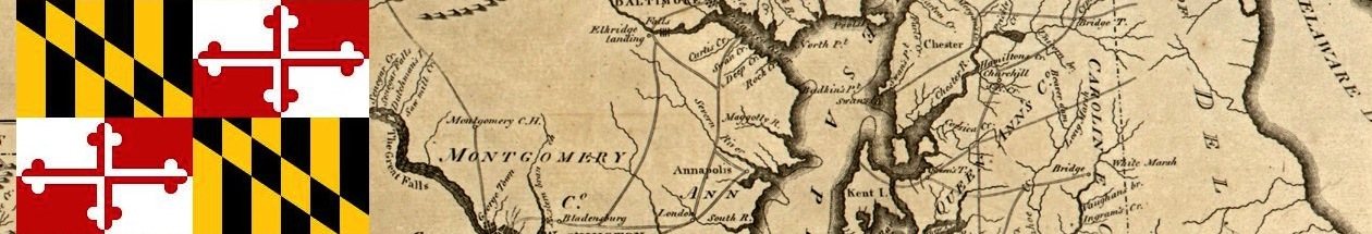
This year, Montgomery County has 258 precincts. Three of them are “ghost precincts,” which do not report results because no people live in them. If you see the number of precincts alternatively represented as 258 or 255, the three ghost precincts are the reason. Don’t worry about it because vote tallies are unaffected.
All precincts are assigned to congressional, state legislative and council districts. Their town designation is determined by the location of the voting place. This gets a little blurry at times as folks from one town can have a voting place in another, but this shouldn’t have a huge impact on geographic results.
The Democratic Crescent, a term I used two years ago to identify regularly voting downcounty Democrats, includes precincts in Bethesda, Cabin John, Chevy Chase, Kensington, Takoma Park and Silver Spring inside the Beltway. Upcounty includes precincts in Brookeville, Clarksburg, Damascus, Dickerson, Gaithersburg, Germantown, Laytonsville, Montgomery Village, Olney, Poolesville, Sandy Spring and Washington Grove. Residents of smaller nearby communities vote in these precincts, including people who live in Ashton, Barnesville, Beallsville, Boyds and Goshen. Wheaton includes zip code 20902. Glenmont/Norbeck includes zip code 20906, except for Leisure World, which is tracked separately. Silver Spring East County includes all other Silver Spring precincts outside the Beltway and located in zip codes 20901, 20903, 20904 and 20905.
I may refer to how precincts voted for term limits in 2016. Term limits voting is correlated both with partisan turnout and certain other voting behavior this year.
I included estimates of average household income by zip code from the Census Bureau for the five-year period of 2014-2018. I wish I had recent estimates by precinct but that will hopefully be released with the next batch of decennial census data.
Finally, I took a shot at demographics by precinct. This was a huge and imprecise exercise. Using 2010 census data, I matched census blocks to precincts. This is challenging because the two frequently don’t match exactly and precinct definitions have changed over the years. After a great deal of work, I was able to generate rough estimates of percentage Asian, Black, Latino and white for each precinct’s population and use them to gauge crude patterns of voting associated with race. I can’t stress how rough and dated this is and I look forward to getting updated 2020 census data to plug in.
That’s about it. We’ll start digging into data soon!
